-
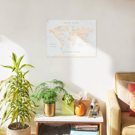
Lámina Mapamundi - Woody Map Poster
Precio habitual £16.00Precio habitual -
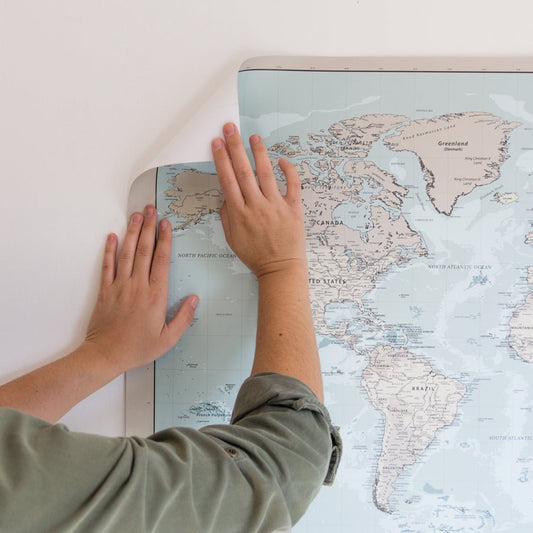
Mapamundi corcho - Woody Map Watercolor Vintage
Precio habitual Desde £31.00Precio habitual -

 -29%
-29%Pack 20 fotos Retro
Precio habitual £10.00Precio habitual£14.00Precio de oferta £10.00-29% -

 -28%
-28%Pack 40 fotos Retro
Precio habitual £13.00Precio habitual£18.00Precio de oferta £13.00-28% -
Pack 20 fotos Mini Retro
Precio habitual £7.00Precio habitual£9.00Precio de oferta £7.00-22% -

 -27%
-27%Pack 60 fotos Retro
Precio habitual £16.00Precio habitual£22.00Precio de oferta £16.00-27% -
Pack 40 fotos Mini Retro
Precio habitual £10.00Precio habitual£14.00Precio de oferta £10.00-29% -
Pack 60 fotos Mini Retro
Precio habitual £13.00Precio habitual£18.00Precio de oferta £13.00-28%